GeoViewPort
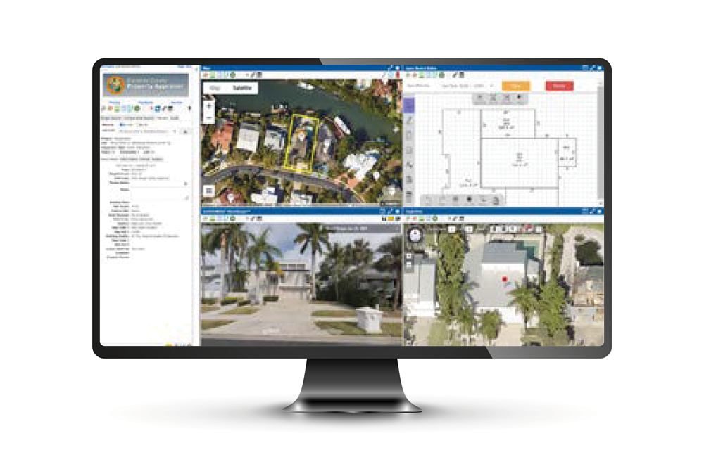
Desktop Review
Comprehensive Visual Intelligence
More Benefits
- Brings all relevant visual property data into one convenient spot allowing users to make informed decisions.
- Can be accessed by the team anywhere internet is available.
- Simultaneous access to street-level imagery, oblique imagery, property sketches, parcel data, and aerial imagery.
- Easily access additional properties or interest with a click of a button.
- Use AvX Photometrics to perform Sketch Verification maintenance and instantly see updates in GIS.
Management Module
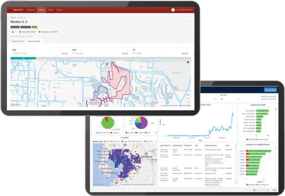
Workflow Management
Transform How You Work
More Benefits
- Assessment Project Management Module (“APMM”) client’s workload can be managed more easily and efficiently.
- Plan, distribute, analyze, review, and forecast appraisal cycles by providing tools that enable the distribution of work amongst the team.
- Review results, monitor accuracy and track progress.
- Dashboard instantly provides status updates, progress and projections for completion dates.
- Data can be exported for further analysis and reporting.
StreetScape
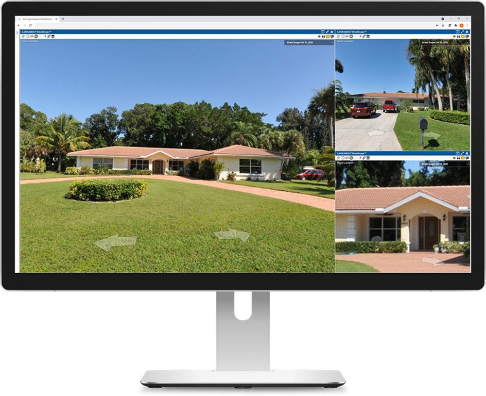
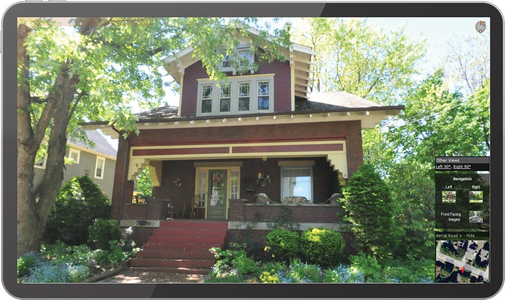
Street Level Imagery
Authoritative Visual Data for Decision Support
More Benefits
- StreetScape’s mobile camera system captures images every fifteen feet to ensure coverage is accurate.
- State of the art collection software.
- Images provide the detail required for tax assessment purposes.
- Dynamic generation of imagery through web services.
- Use GVP to facilitate the use of imagery and CAMA data to simplify the client’s desktop review of properties.
Mobile Appraiser
Mobile Appraisal
Streamlined editing and
field data collection suite
More Benefits
- Improves efficiency, quality, and savings for jurisdiction’s workflow.
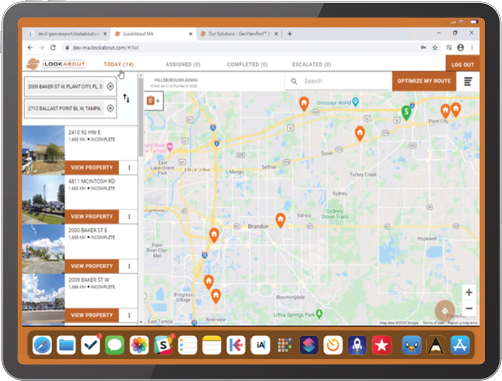
- Helps staff prioritize their day’s work and delivers all statistical data.
- Simultaneously access street-level and oblique imagery, property sketches, parcel data, and aerial imagery.
- Ability to tag new georeferenced imagery.
- Platform agnostic and accessible anytime, anywhere.
- Ability to work offline with when internet is inaccessible.
- Summary of changes are passed back to GVP prior to updating CAMA.
ApexSketch
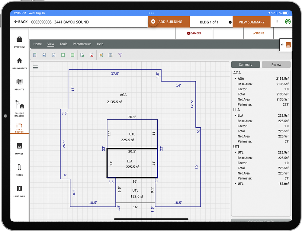
Floor Plans & Area Calculation
Industry Standard for all your sketching needs
More Benefits
- Photometrics Module allows you to trace over existing imagery to scale ingesting instant georeference data.
- Embedded in GVP for direct integration with the Building Outline Layer
- Survey Module allows users to quickly draw and validate their legal descriptions.
- Supports, Keyboard, Mouse, Touch, Active Pen, Apple Pencil and Bluetooth input.
- Industry Standard CAMA integration.
- Browser-based making AvX both OS and Device agnostic.
